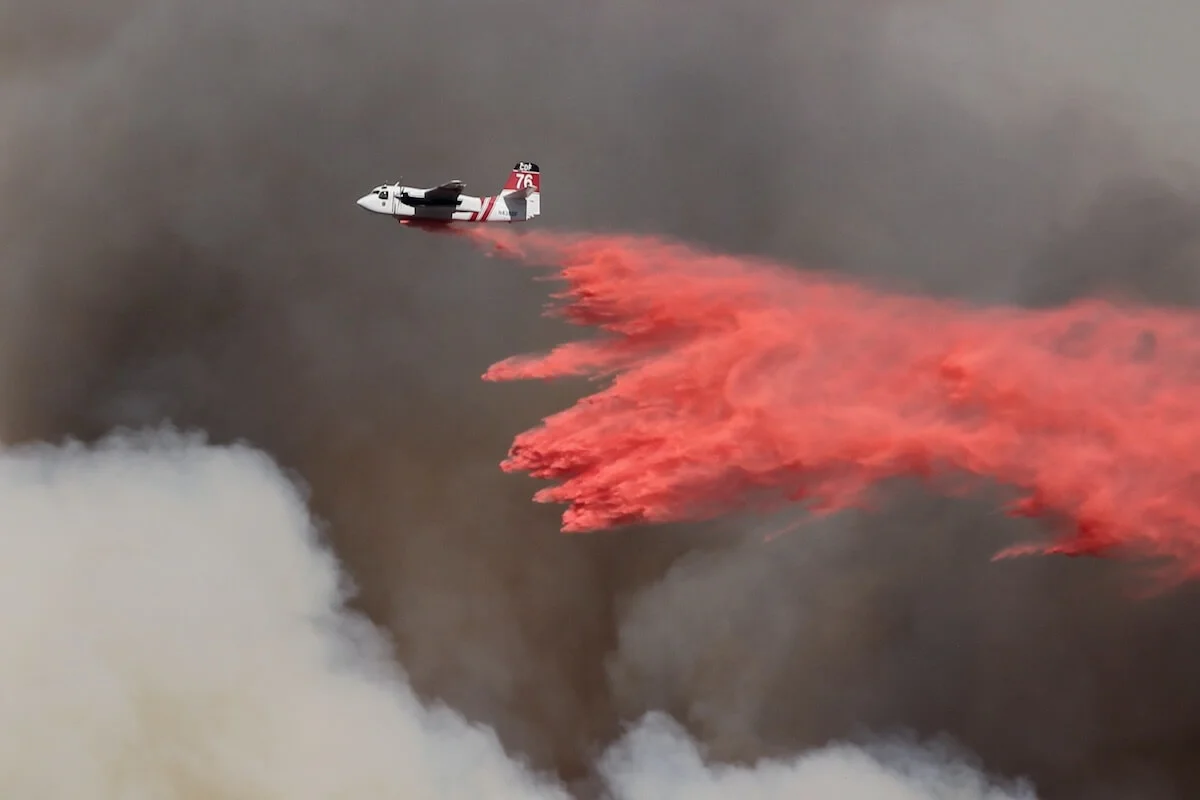
wildland fires in the U.S. and Canada in 20221,2

Western Wildfire Resilience Index
Measuring and communicating community resilience to wildfire
ABOUT
This project will calculate index scores for human-ecological communities in the western regions of the US and Canada to inform decision-makers when crafting wildfire preparedness, response, and recovery policies.
The index will summarize the condition and resilience of each area of interest across a diverse set of variables and metrics. WWRI index scores will be displayed with a transparent, user-friendly interface so that decision-makers, resource managers, and property owners will be able to see which factors are driving the index score of any given area. WWRI is expected to launch in 2025.
MAP
The WWRI study area includes the land, rivers, and lakes in the western continental states and regions of US and Canada. We are focusing on this portion of North America because of the increasing frequency and severity of wildfires in this region. This region includes densely populated areas, such as Los Angeles, California, and some of the least densely populated areas on the continent, such as in the State of Alaska and Yukon Territory in Canada. There are more than 82 million people living in this region.1,2 Many cultures and ecosystems rely on fire, as an essential and vitalizing force. At the same time, human communities can face displacement, health risks, and existential threats due to destructive wildfires, and ecosystems and species are increasingly threatened by environmental change. WWRI will include both social and environmental indicators of resilience so that decision-makers can prioritize effective actions for their community or area of interest, and communities and ecosystems can eventually co-exist, and even thrive, with low severity fire.
APPROACH

Analyze current wildfire resilience research, policies, and data sources. Identify commonalities and gaps across this body of literature. Determine key metrics and develop an informed framework for the index in partnership with our wildfire expert working group.

Apply open source data to the index framework. Partner with wildfire resilience programs in government, academia, and private sectors for information and strategy sharing. Develop an interactive website for public use of WWRI as a decision-making resource.

Engage our wildfire expert working group to review the functionality and efficacy of the index and the interface. Troubleshoot and fine-tune details prior to public launch.

Unveil the completed WWRI interface for public use. Promote WWRI throughout our network of partners and collaborators to inform wildfire resilience policies and programs across the western continental states and regions of US and Canada.
STATISTICS
acres of land burned across the U.S. and Canada in 20221,2
in fire suppression costs in the U.S. for 20223
in fire suppression costs in Canada for 20174
LINKS
FAQ
What is an index?
An Index is a composite measure of many individual indicators. Gross Domestic Production (GDP) and many investment portfolios (e.g., the Dow Jones) are common examples in finance. In the environment, a good example is the Ocean Health Index (OHI).
What does resilience mean?
There are many accepted definitions of “resilience”, and definitions often change over time due to colloquial use. In general, “wildfire resilience” refers to the ability of a community or ecosystem to recover from or adapt to the impacts of wildfire, measured with both social and environmental metrics. We use “resilience” to describe the cycle of preparedness, response, and recovery experienced by people, flora, and fauna, on landscapes with wildfires.
What is the difference between “wildfire” and “wildland fire”?
The term “wildland fire” is used in the US and Canada to indicate all kinds of fire on the landscape, regardless of the cause or reason for ignition. Both countries recognize two main kinds of wildland fire: wildfire and prescribed fire.4,5
In general, wildfires are fires that are ignited naturally, such as by lightning, or by human action. The US Wildland Fire Mitigation and Management Commission defines wildfires as fires that burn in the natural environment, regardless of whether they are ignited in the natural environment or built environment.5 The Canadian Government defines wildfires as those that are in the natural environment and are “uncontrolled”.4
What is a prescribed burn?
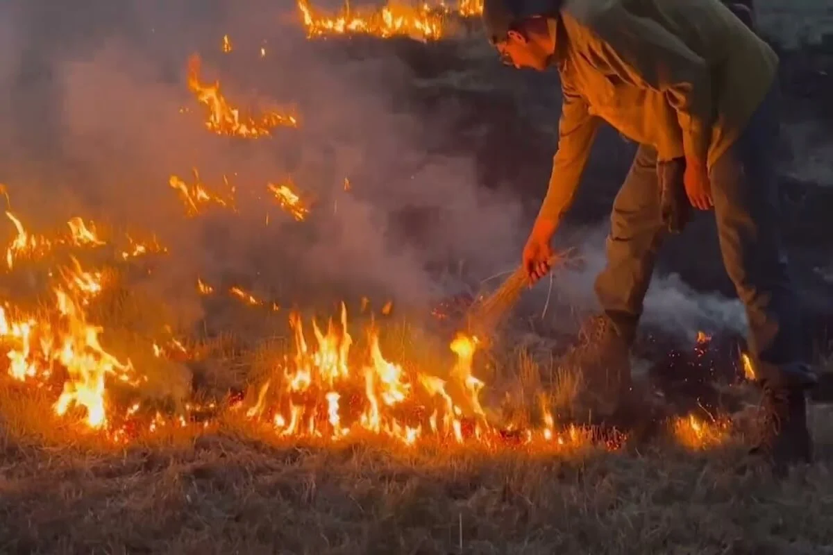
A prescribed burn is a fire that is ignited intentionally and controlled by experts for different management purposes.5 However, when prescribed fires escape control, they may be considered wildfires.
What is a cultural burn and how is it different from a prescribed burn?
A cultural burn is the term used to describe the traditional fire practices of Indigenous peoples. The Wildland Fire Mitigation and Management Commission (WFMMC) defines cultural burns as, “the Indigenous practice of lighting fires to produce a desired cultural service, be it promotion of medicinal plants, fiber production, first foods, or for ceremony”.6 The WFMMC advised the US government in their September 2023 final report to recognize cultural burns as fundamentally different from prescribed burns because of their unique preparation, execution, and frequency.
Cultural burns may vary widely because they are based on the traditional knowledge of Indigenous peoples. It is important to note that most Indigenous peoples still need to obtain permits from American governments in order to conduct cultural burns. Some Tribal members believe that this bureaucratic process undercuts the validity of cultural burns.
Why is low severity fire important?
Generally, a low severity fire is one that results in less than 25% tree mortality, and has a limited impact on soil.7 Many ecosystems and species are adapted to naturally-occurring low-severity fire. For example, giant sequoia and ponderosa pine both depend on low-severity fires for seed dispersal. Low-severity fires remove excess fuel, such as leaf litter, overgrown shrubs, and logs. They also remove harmful insects and disease from the environment. By removing excess fuel and reducing the spread of insects and disease among tree stands, these low-severity fires often prevent larger, more severe fires from occurring.8 Following a low-severity fire, more area on the forest floor becomes available for new plants and small mammals, which in turn provide food for species up the food chain.8,9
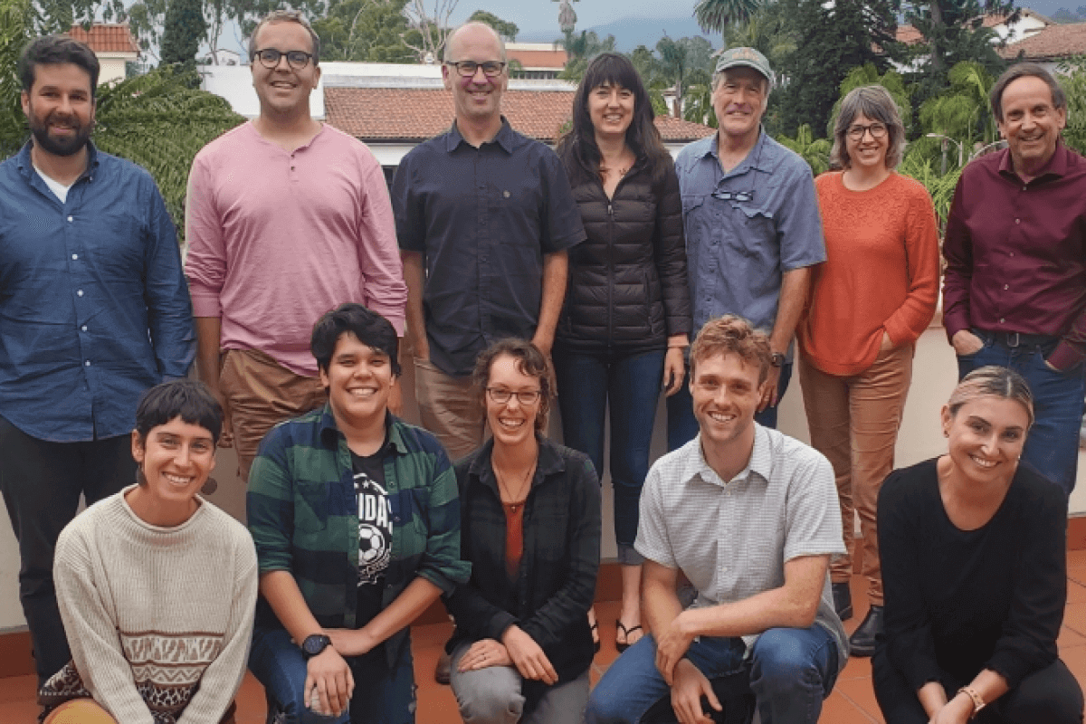
Meet the Team


Lead Project Scientist



Meet the Working Group
- Marek Smith, The Nature Conservancy
- Shefali Juneja Lakhina, Wonder Labs
- Connor Nolan, Stanford University
- Oliver Brandes, University of Victoria
- Ilkay Altintas, UC San Diego
- Claire Tortorelli, UC Davis
- Max Moritz, UC Santa Barbara
- Joan Dudney, UC Santa Barbara
- Malcolm North, US Forest Service
- Miranda Mockrin, US Forest Service
- Winslow Hansen, Cary Institute of Ecosystem Studies
